Robert Allison's Ocean, Lake, and River Graphs!
Click thumbnail to see full-size chart, click label to see SAS code.
Hurricanes & Typhoons
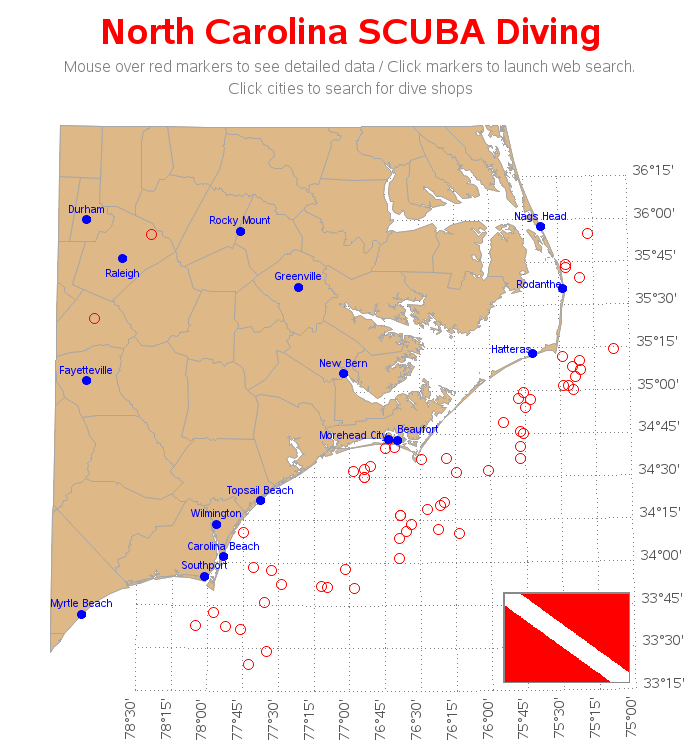
NC SCUBA Diving
Plastic in Oceans
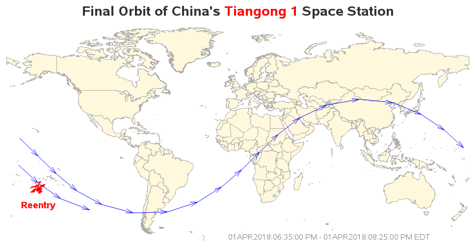
China Satellite Reentry
Tsunami / Earthquake
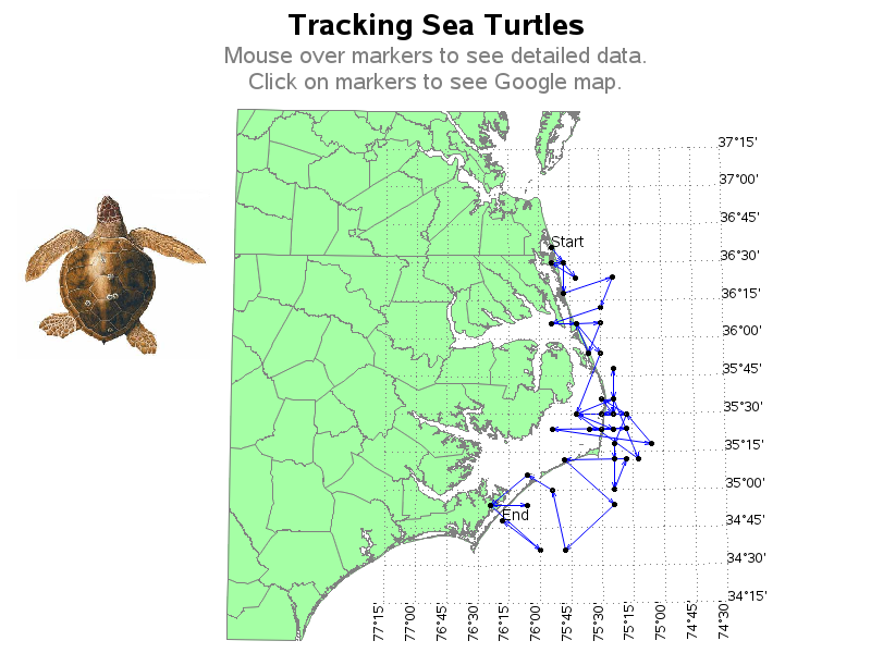
Tracking Sea Turtles
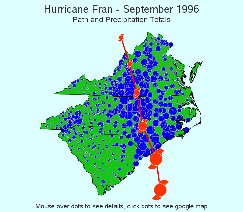
Hurricane Fran Rainfall
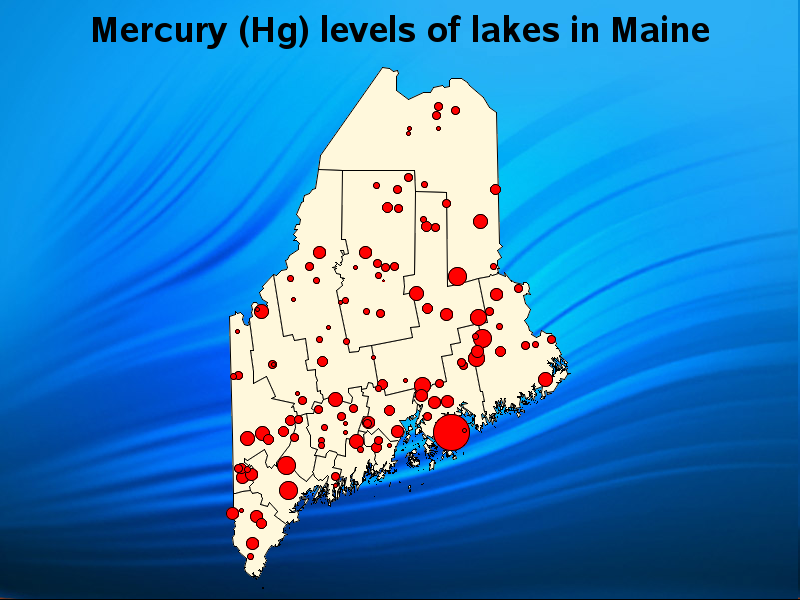
Lake Mercury Level
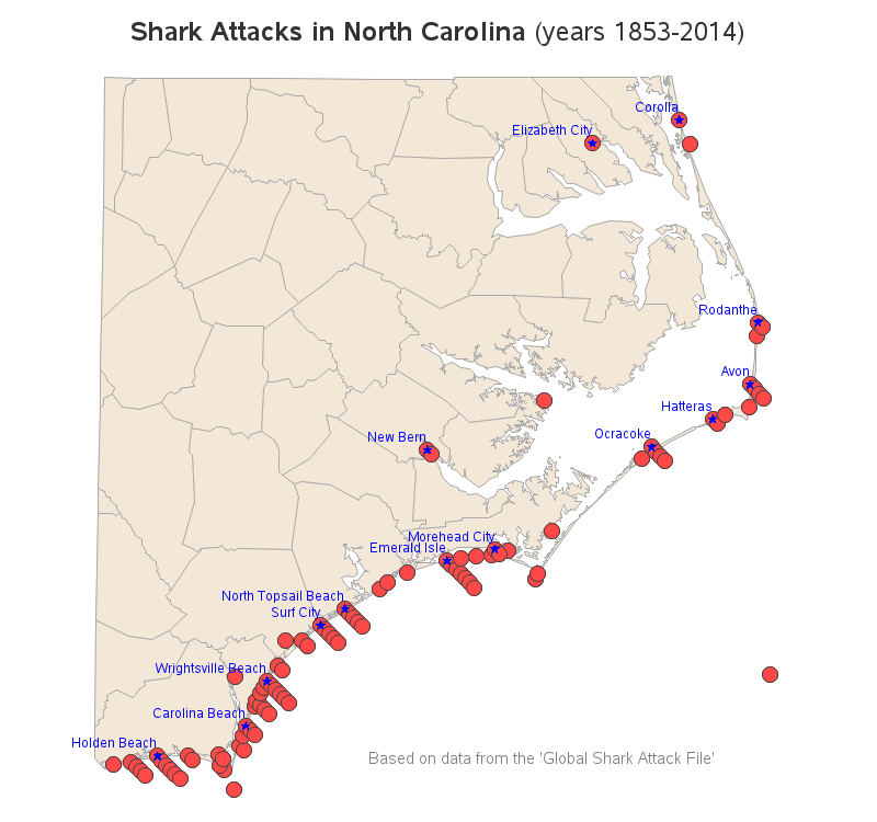
NC Shark Bites
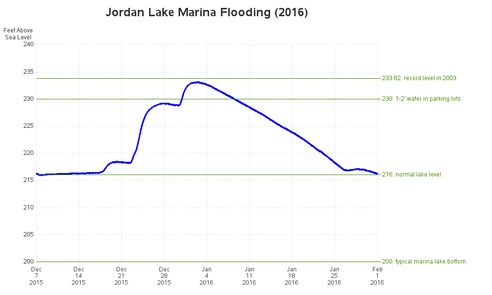
Jordan Lake Flood
Lake Wheeler Testing
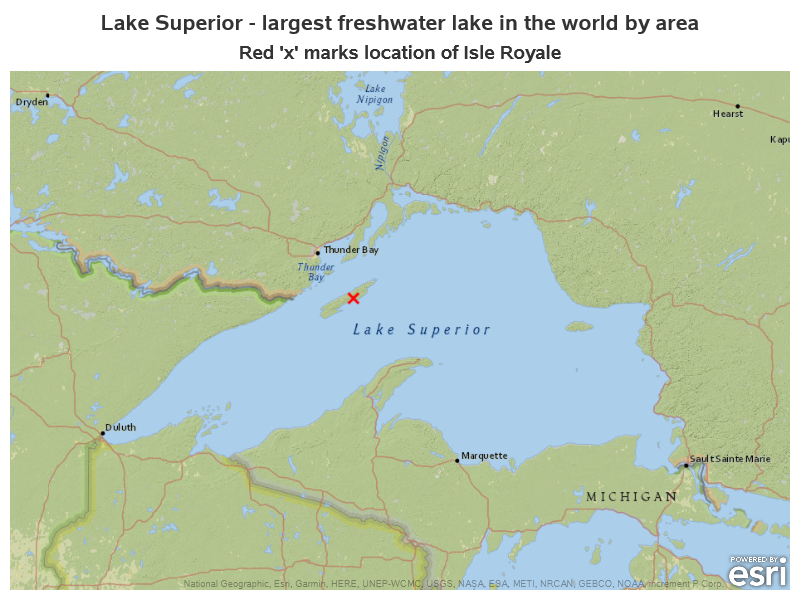
Lakes and Islands
Marine Protected Areas
Magnetic North Pole
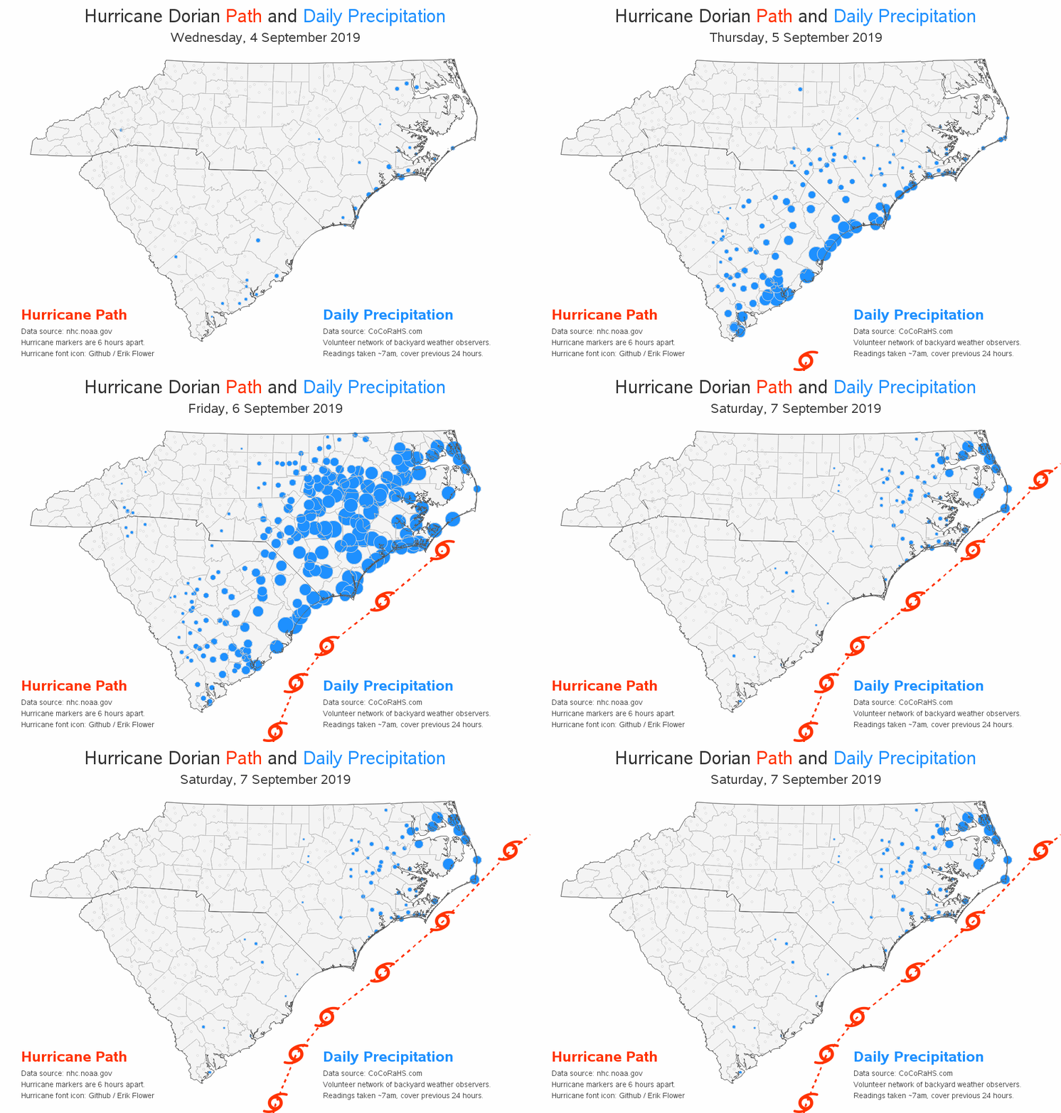
Hurricane Dorian
Jordan Lake Level
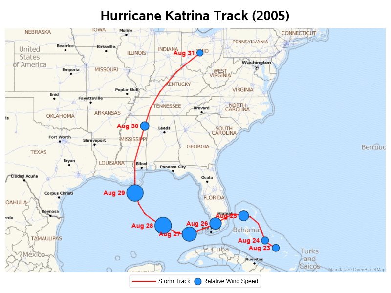
Hurricane Katrena
Bangladesh Flooding
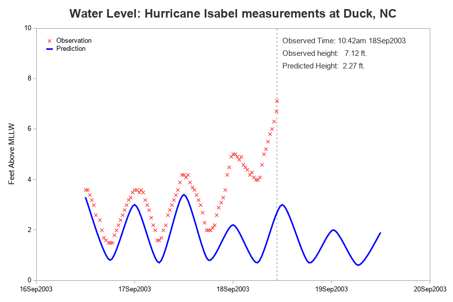
Hurricane Tide Level
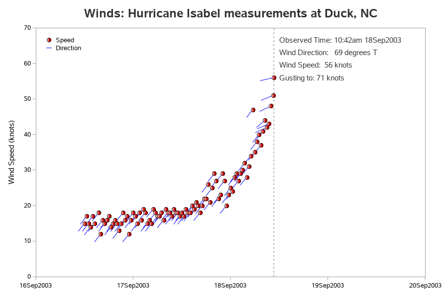
Hurricane Winds
Hurricane Flooding
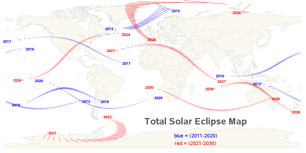
Total Eclipse Paths
Hurricane Dorian 2019
Jordan Lake Flooding
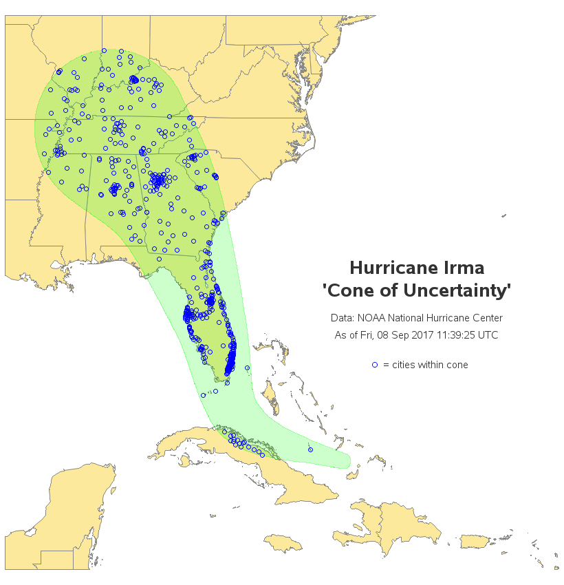
Hurricane Irma Cone
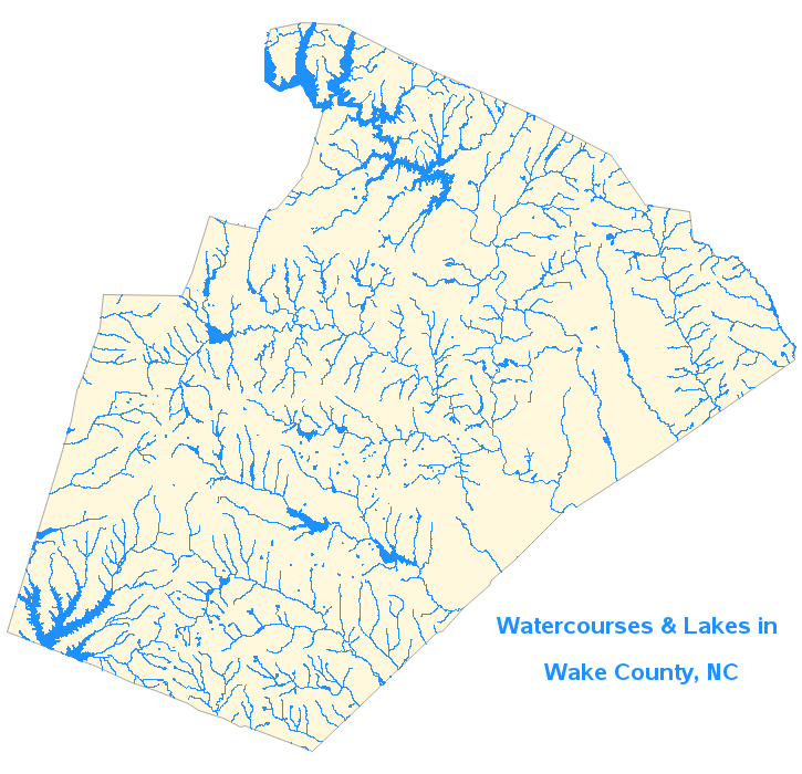
Lakes and Rivers
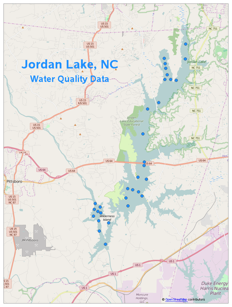
Water Quality Graphs
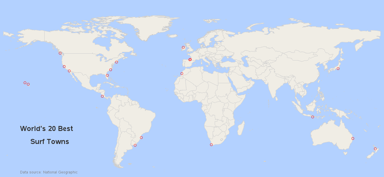
Best Surf Towns
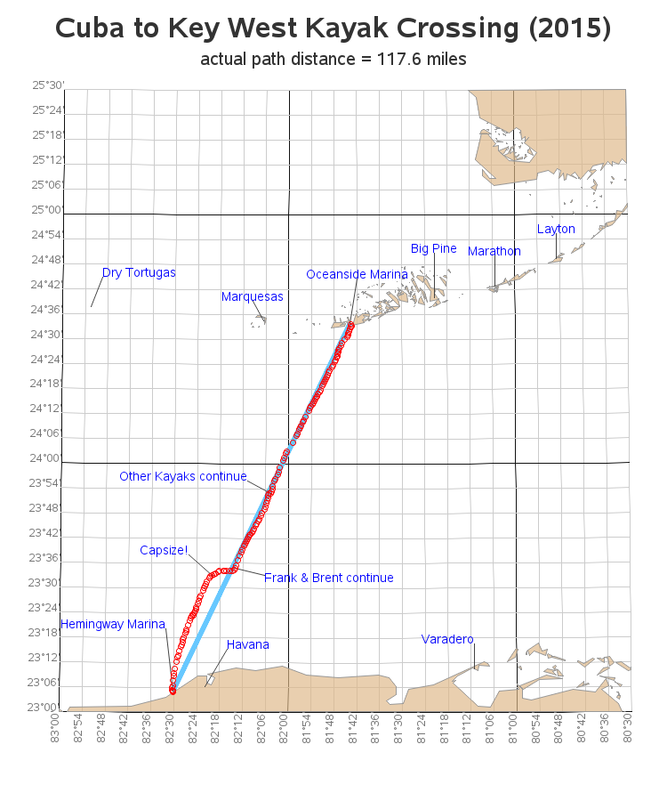
Paddling From Cuba
Great SCUBA Sites
Earthquake Locations
Flight 370 Search
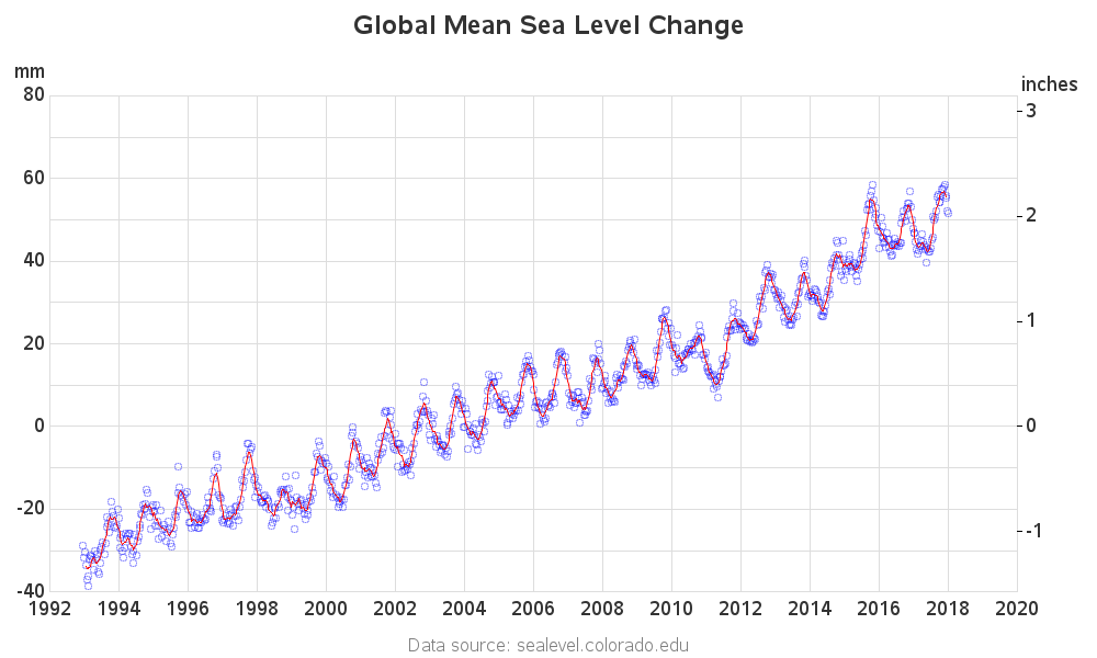
Sea Level Change
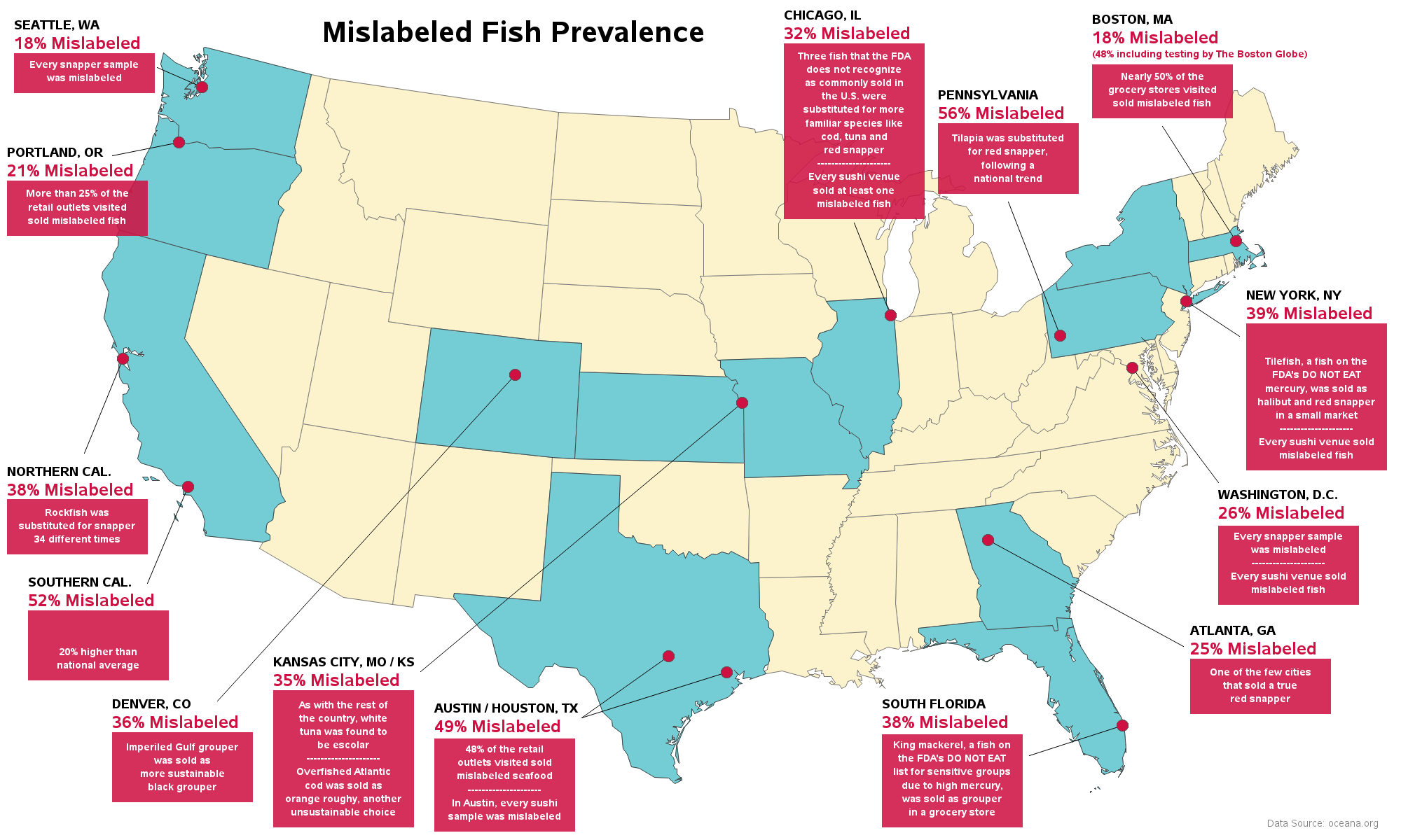
Mislabeling of Fish
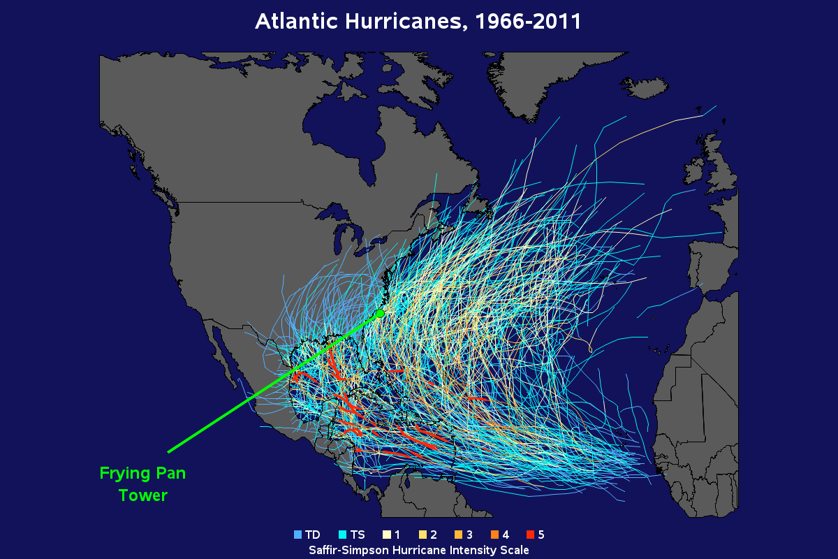
Frying Pan Tower
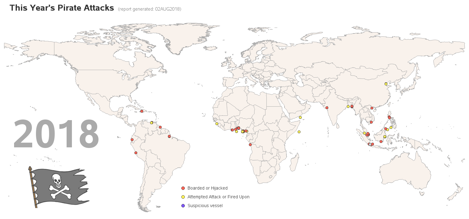
Pirate Attack Map
Hurricane Isaac :-)
River Basins of NC
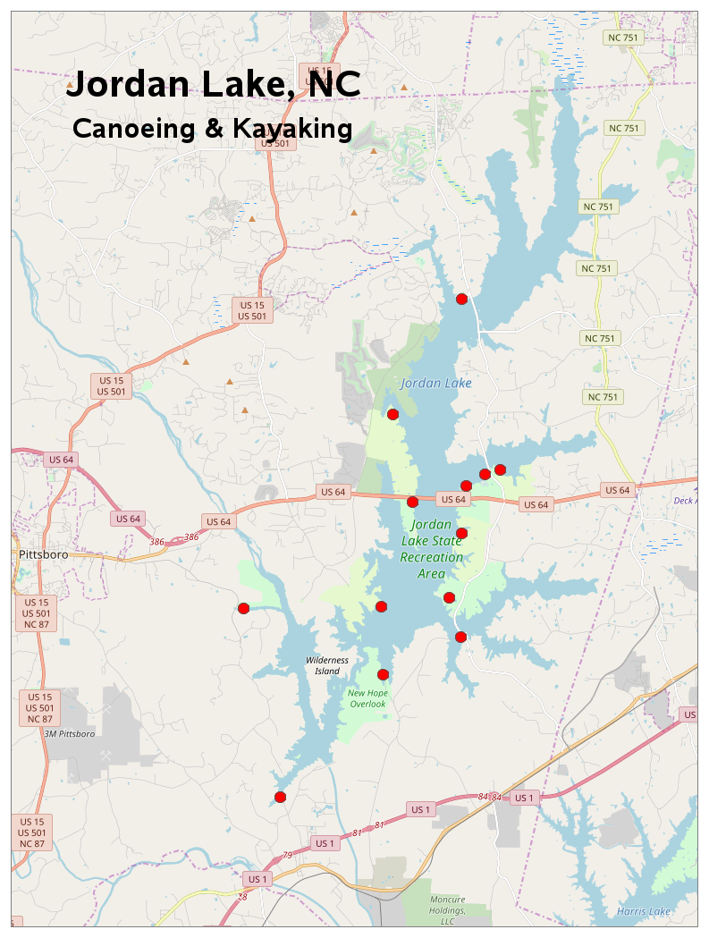
Jordan Lake Paddling
Worldwide Volcanoes
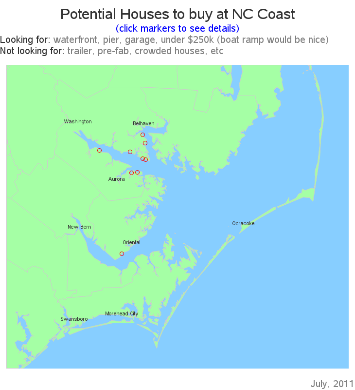
Coastal House Hunt
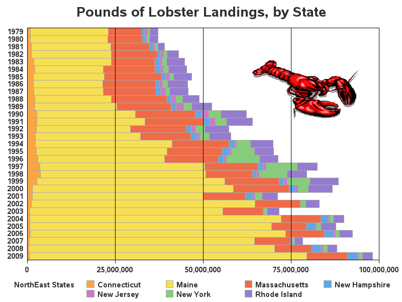
Lobster Landings
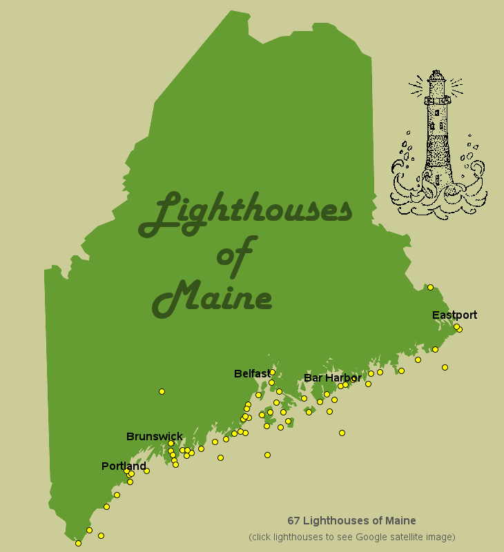
Lighthouses in Maine
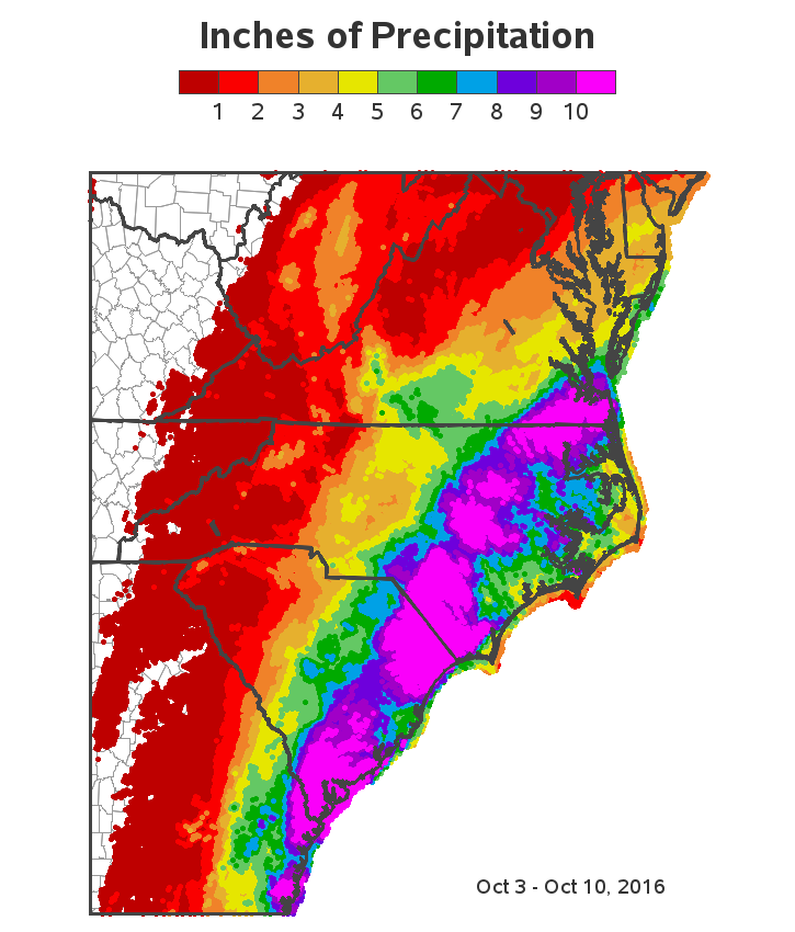
Hurricane Matthew
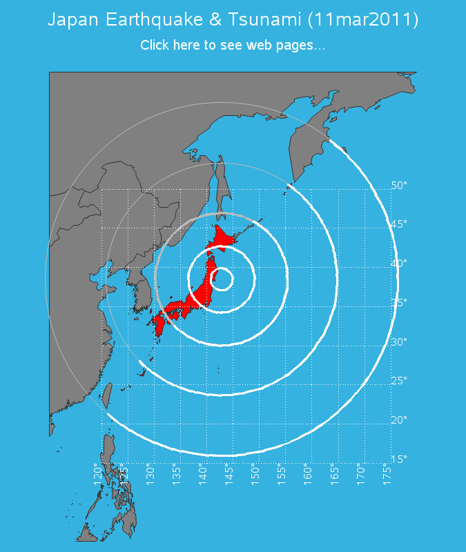
Earthquake Tsunami
Map of Oil Spills
Map of Dams in NC
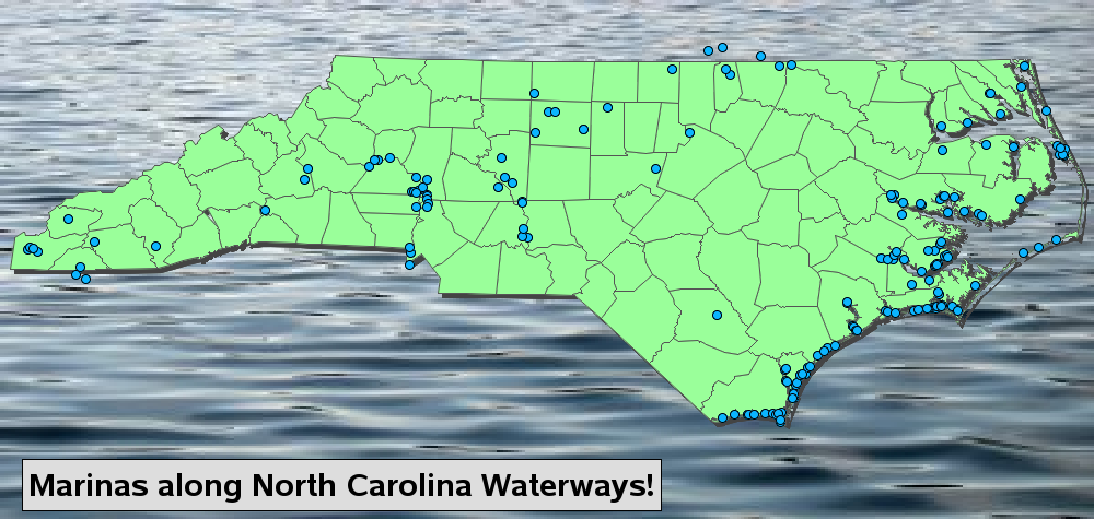
Marinas in NC
China's Shipping Ports
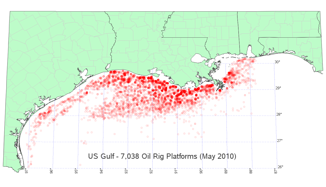
Gulf Oil Platforms
Gulf Boreholes Map
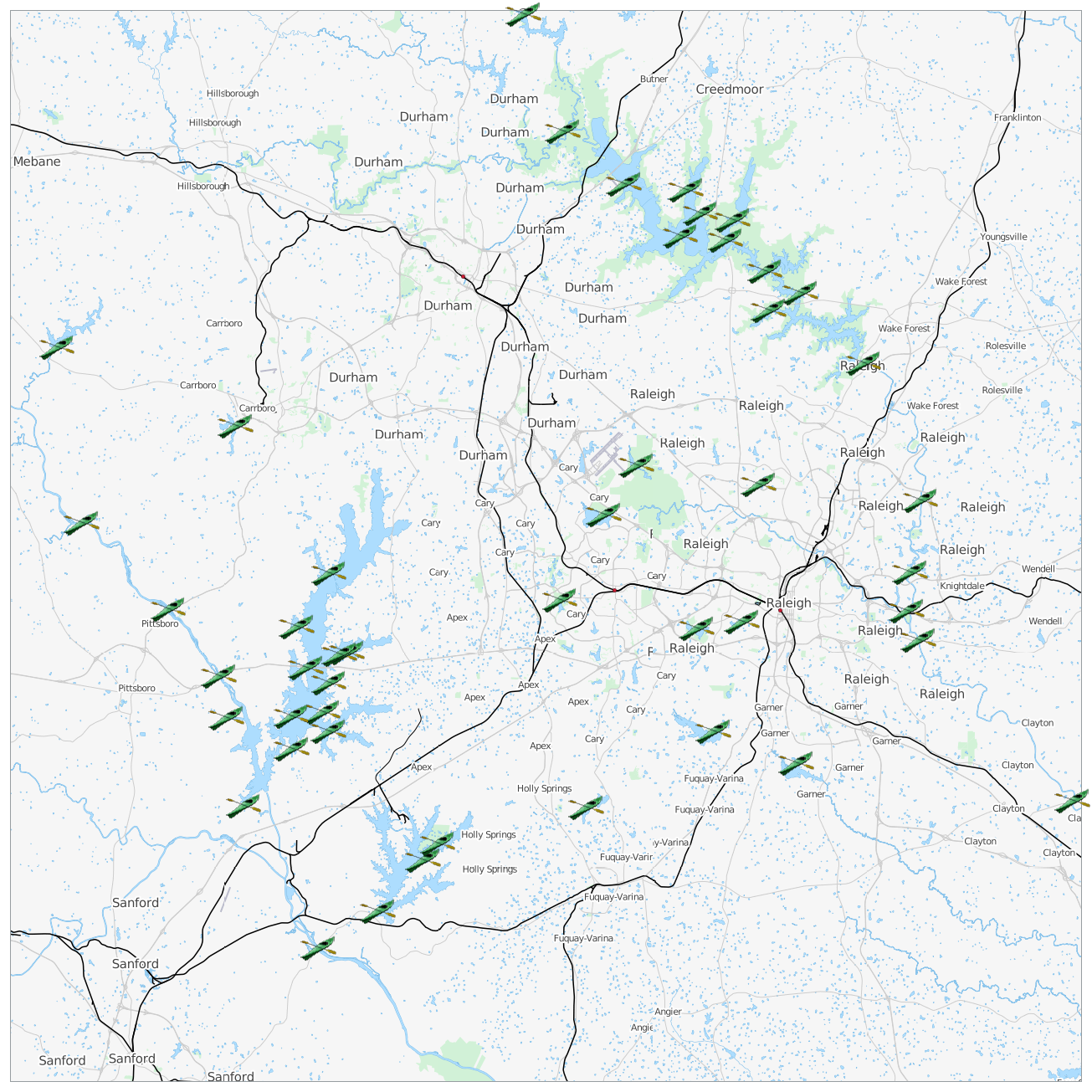
Paddling near Raleigh
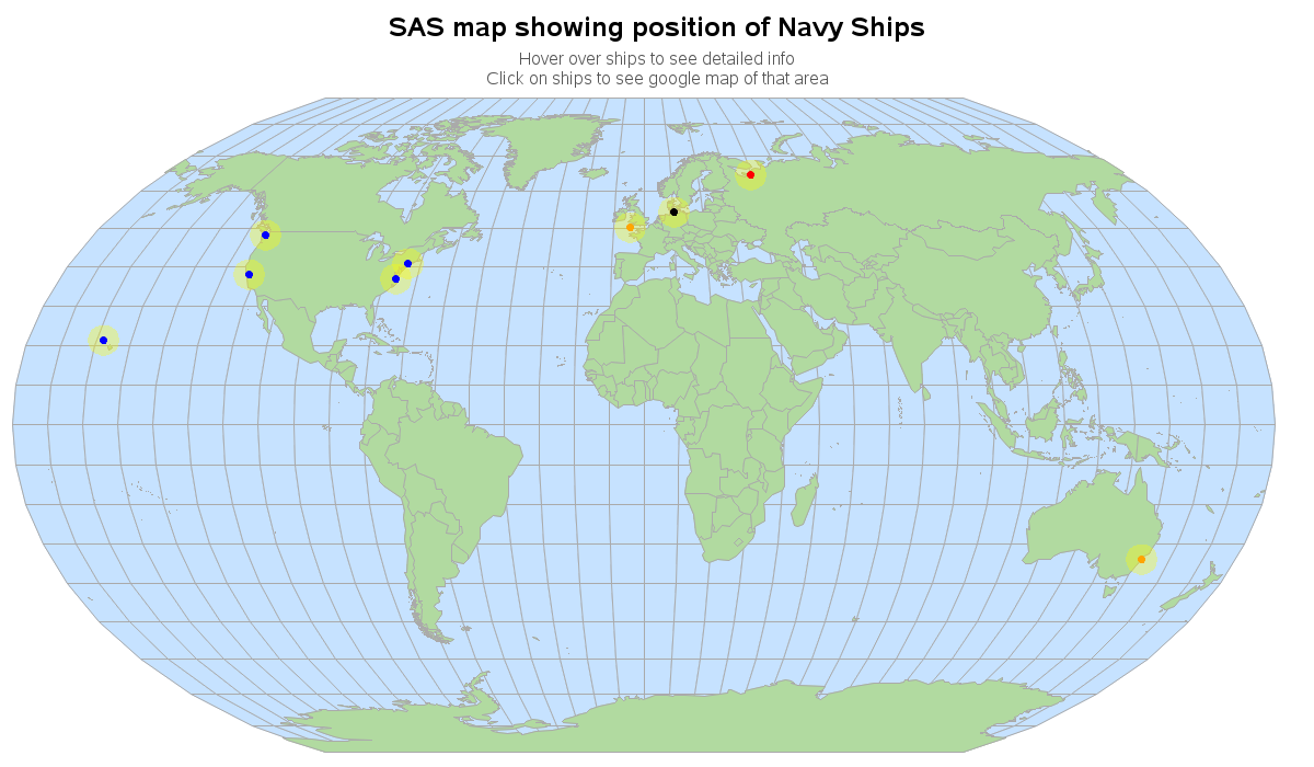
Navy Ship Tracking
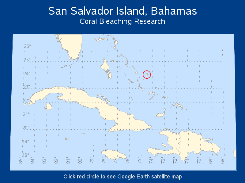
Coral Bleaching Project
Prehistoric Crater
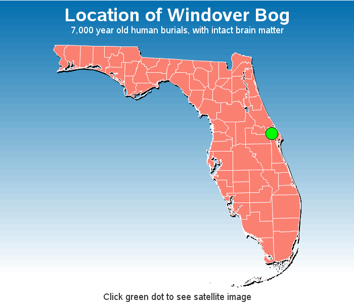
Ancient Bog Burials
Send feedback via email to Robert Allison
Please see the following README

